
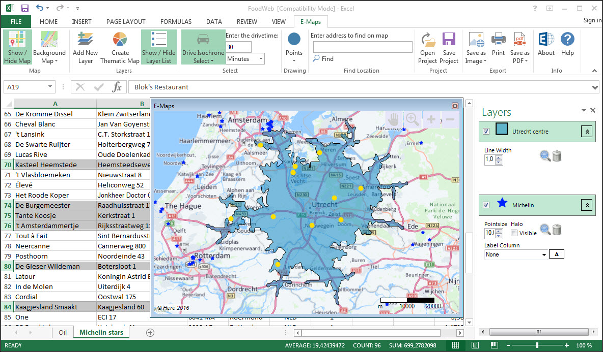
E-Maps Advanced, your start in distance and drivetime analyses.
Designed for quick distance analyses, we added radius select, isochrone and isodistance select.
These new features give you more insight in geographical selections without the need to buy expensive software.
The new features include:
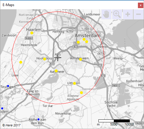
- create isochrones or isodistance boundaries and select the data that are included
- save the isochrones in your map
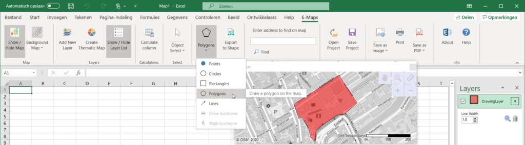
- enhance your maps with circles or rectangles for presentation
- draw polygones and lines in drawing layer
- export drawing layer to SHP
Check our video tutorial on youtube.
See the specifications and pricing of E-Maps Advanced
E-Maps Advanced for time and distance selections