Download your update or trial of Excel E-Maps. Find free sample data files in SHP format, ready to use in Excel E-Maps. The data files can also be used for testing E-Maps.

Downloads

  • 14 day trial of E-Maps – The trial has the functionality of E-Maps Pro, but the number of addresses you can plot on the map by geocoding is limited to 600 per time, and 5.000 maximum. If you have your own coordinates in WGS84, the number of plots is not limited by the software. The 14 day trial version is also available for download in our webshop for free. You can also contact us and get your copy later.
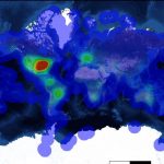
Download E-Maps, example heatmap
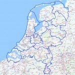
  • Dutch provinces – a Shape file with the 2015 province boundaries of The Netherlands. You can use this file to test loading a ESRI Shape file.
Download provinces
  • Dutch Hospitals – a list of Dutch hospitals with their address. You can use this to test the geocoding.
Download hospitals
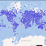
  • Airports worldwide – over 60.000 locations of various airports in the world with Latitude  / Longitude coordinates (WGS84). This file is a nice example how E-Maps Excel add-in handles large files with points.
    This file loads in seconds when you have version 2.1 or higher. (source: ourairports)
download airports worldwide
  • Countries worldwide – shape file with 50 meter resolution with all the countries of the world. This file is suitable to test thematic mapping in the tool (source: Natural Earth).
downloads Thematic South America Countries