
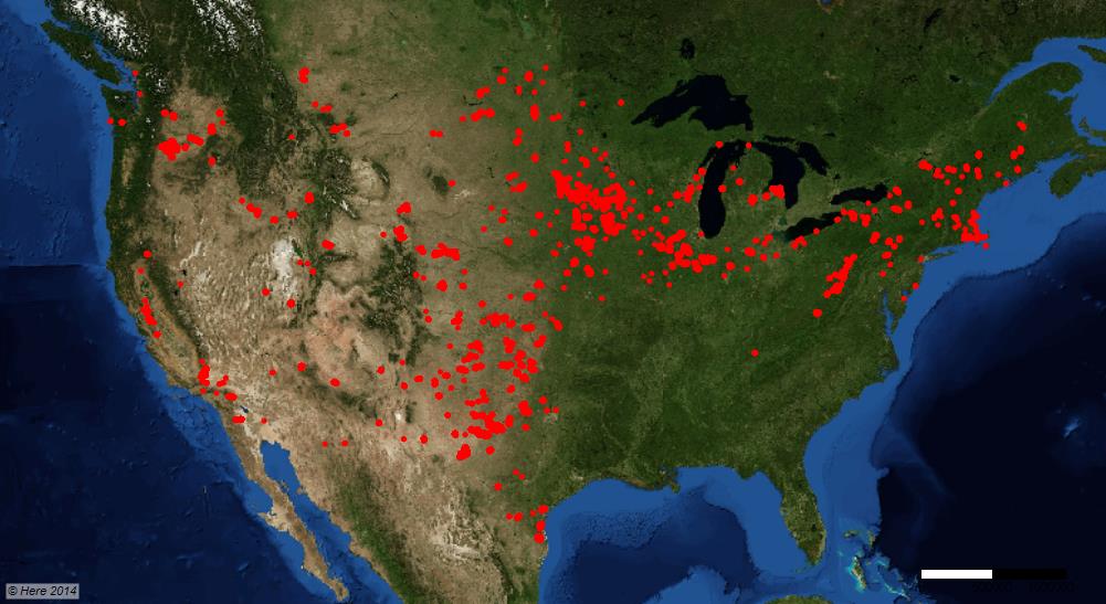
Just plot your file 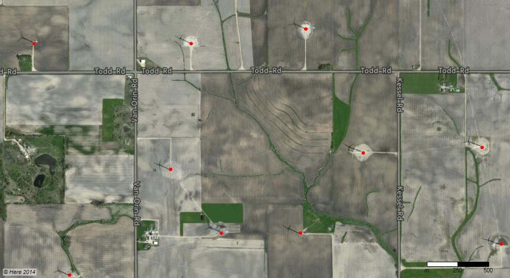 with X and Y coordinates with E-Maps. The locations were plotted in red with E-Maps.
When zooming in, some nice images appear and displays the accuracy of several layers of information. 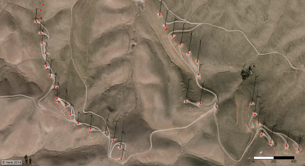
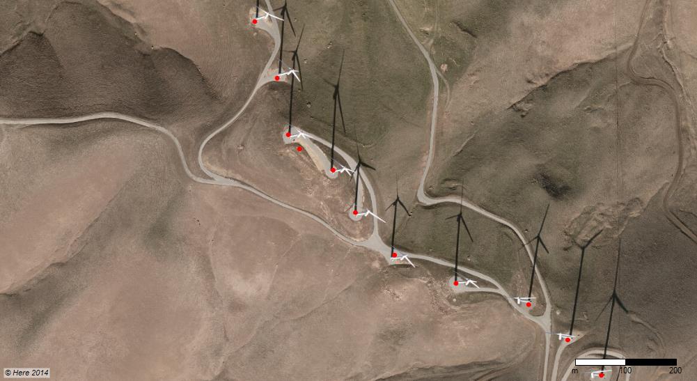
Accurate match of point data on aerial