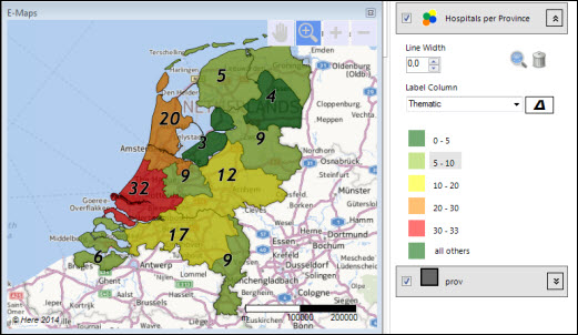
 Import your own map in SHAPE format on top of the background map and get even better looking maps.
If you have a vector map in SHAPE format (extension shp), you may import the map. E-Maps is designed to work with WGS84 format (other projections may work). The base files for the map should have a project file (extension .prj) too.
See the tutorial how to import the map.
Vector maps can be coloured or used for thematic shading.

Import a Shape map
