Skip to content
Excel E-Maps

Excel E-Maps

Mapping your data in Excel

Menu

  • Home
  • Specifications
    • E-Maps
    • E-Maps mobility
  • Tutorial
    • Quick start
      • Installing E-Maps
      • Starting E-Maps
    • Add data
      • Geocode
      • Coordinates
      • Shape
    • Manage layers
      • Layer control
      • Add labels
      • Point styling
    • Thematic maps
      • General
      • Thematic shading
      • Pie chart
      • Heatmap
    • Selection
      • Object selection
      • Boundary selection
    • Export
      • Project File
      • Clipboard
      • Print
      • PDF
      • Image
    • Other
      • Background map
      • Find location on map
      • Drawing
      • Statistics
      • ISO3 countrycodes
  • Buy now
  • Download
    • Download trial
    • Update page
    • Free data and maps
  • Support
    • Video’s
    • FAQ
    • Privacy Statement and Terms of Use
    • Newsletter
    • Contact
  • Nederlands

News

45 seconds demo script

gisviewer: vlakkenkaart Excel E-maps

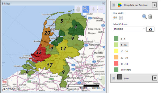
E-Maps demo script We developed a script to show your colleagues how to create a map in 45 seconds. The script for the 45 second demo: Open the file (or prepare this) Select all the data in left corner Menu: Add
admin 10 November, 202110 November, 2021 Read more

E-Maps Advanced for time and distance selections

isochrone excel

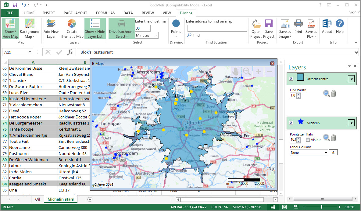
E-Maps Advanced, your start in distance and drivetime analyses. Designed for quick distance analyses, we added radius select, isochrone and isodistance select. These new features give you more insight in geographical selections without the need to buy expensive software. The
Erik van Hunnik 16 December, 2020 Read more

New symbols for thematic

Thematic range

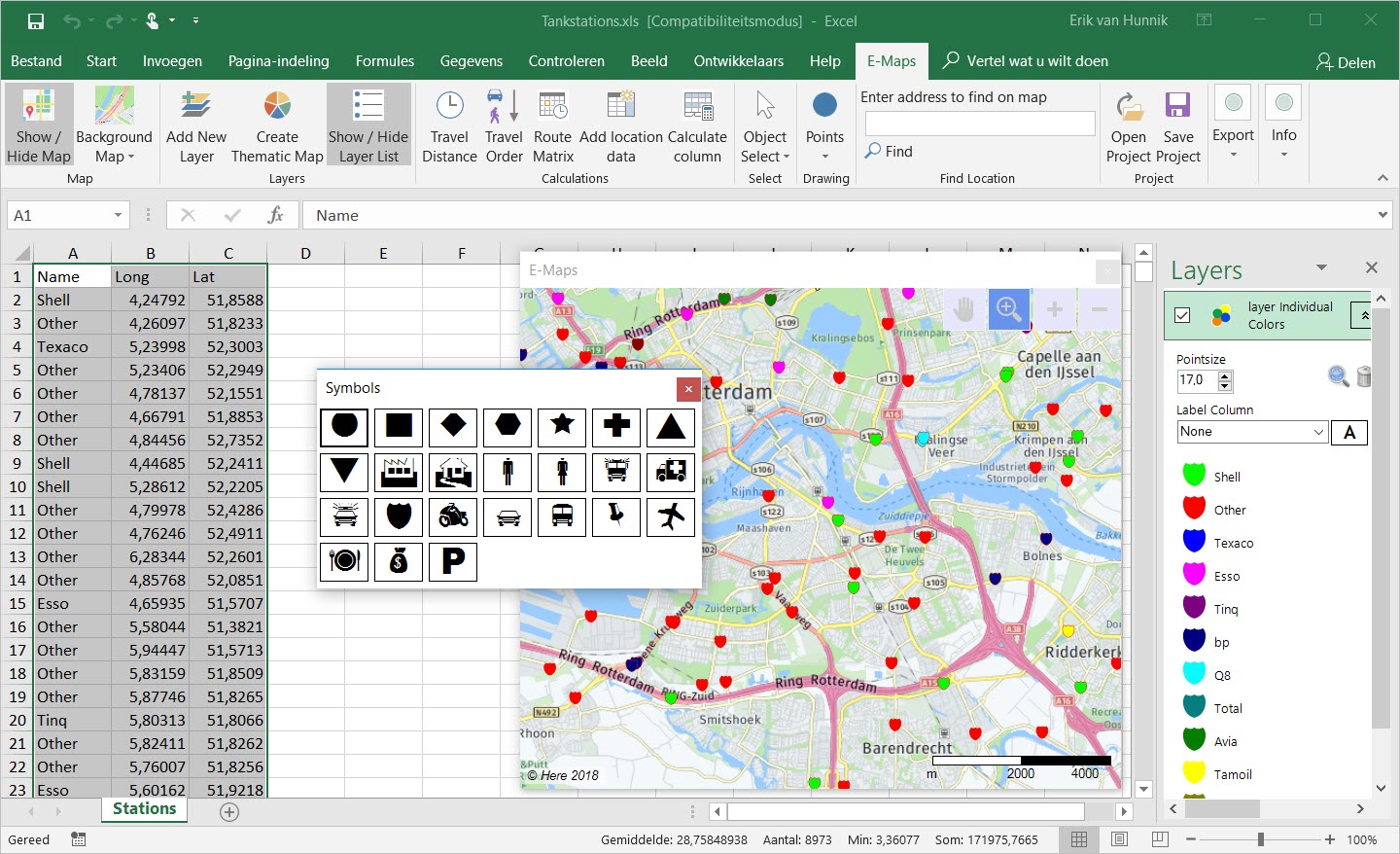
New thematic colouring in Excel E-Maps. Select symbol and vary the shading.
Erik van Hunnik 4 October, 20187 November, 2019 Read more

Statistics of the selection

Calculate statistics in Excel

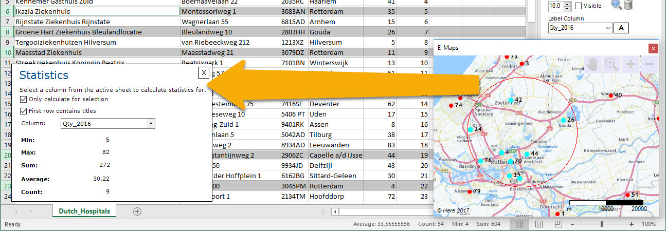
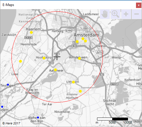
To get more insights in your data, we added a statistic feature. When selecting objects on a map or rows of data in a sheet, you can quickly see the Min, Max, Average, Count and Sum of the data. Select
Erik van Hunnik 21 June, 201724 August, 2021 Read more

Circle selections are standard in E-Maps Pro

circle/cirkel selectie: voorbeeld

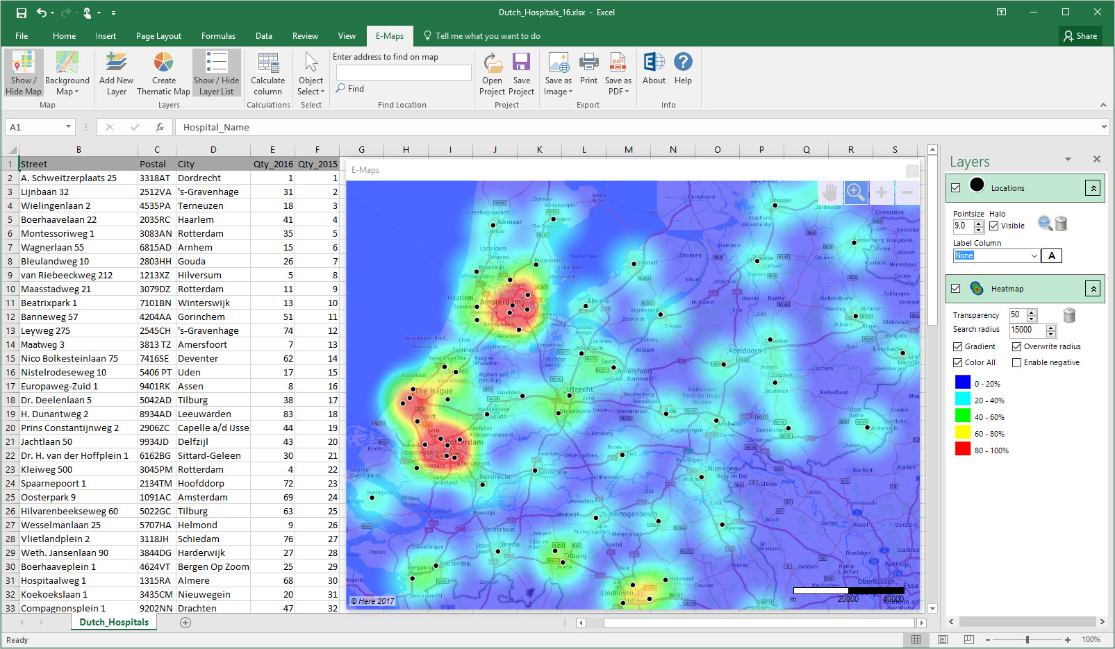
New feature in E-Maps – circle selections From February 2017 First Element added circle selections as standard option in E-Maps Pro, Advanced and Mobility. This feature is added on request of our users. Cirkel selections are useful to have spatial insights
Erik van Hunnik 20 February, 20173 July, 2018 Read more

Adjustable colours and ranges in heatmap

heatmap

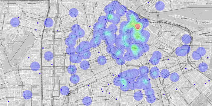
New heatmap settings Always wanted to change the colour scheme of the heatmap? Or do you need different colors to emphasize the importance of locations or negative values? Heatmaps are widely used to analyse and visualise density and intensity of data. E-Maps
Erik van Hunnik 27 May, 201624 August, 2021 Read more

Coffeeshops and schools in Amsterdam

hotspotkaart

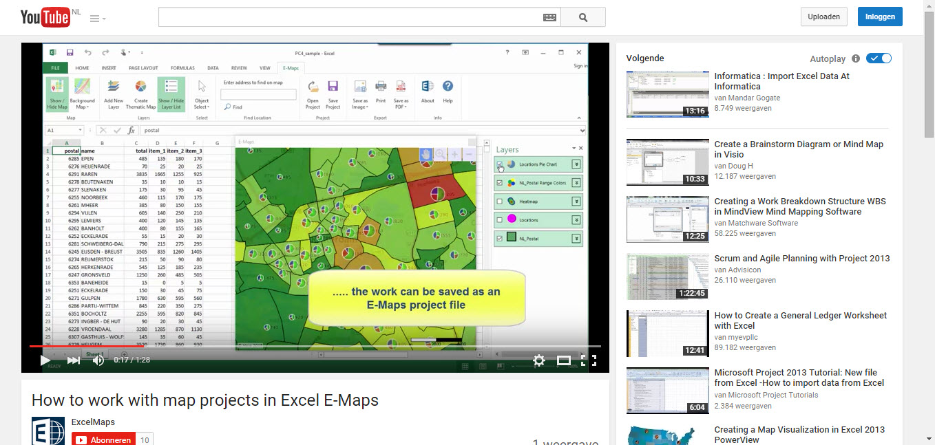
One of our new customers, Willem van Es (Addwhere Urban Intelligence), did a brief study on the relation of coffeeshops and schools in Amsterdam. See the PDF for Schools vs Coffeeshops 0216
Erik van Hunnik 16 February, 201621 January, 2019 Read more

New video tutorials for 2.0

E-Maps layout

We have added new video tutorials and instructions on YouTube. The tutorials help you to learn more about the functionality of E-Maps. If you subscribe to the YouTube ExcelMaps channel, you will be notified automatically when new video’s are available.
admin 3 September, 20159 March, 2018 Read more

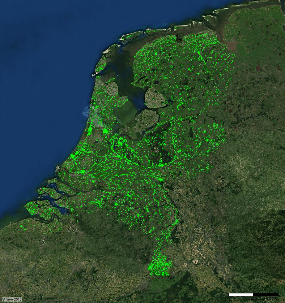
63.000 Dutch monuments plotted on an Aerial map

63000 Rijksmonumenten in Excel E-Maps

More than 63.000 monuments in The Netherlands are plotted on a Here map with Excel E-Maps. The X and Y coördinates that we used, came from the file that we downloaded from the ‘Cultureel Erfgoed’ (Cultural Heritage).        

admin 10 December, 20139 March, 2018 Read more

Address matching with result code

We added the funtionality to display the result of address matching (geocoding) as an extra column. This feature enables you to check the quality of your addresses and location of the points on your map. Preferably, a country code will

admin 29 October, 201312 December, 2013 Read more

Download

Read the License Agreement before you activate E-Maps.

Newsletter

    News

    • MapPoint
    • 45 seconds demo script
    • Three simplified maps
    • E-Maps Advanced for time and distance selections
    • The ruler
    • New symbols for thematic
    • Statistics of the selection
    • Circle selections are standard in E-Maps Pro
    • Adjustable colours and ranges in heatmap
    • Coffeeshops and schools in Amsterdam
    • New video tutorials for 2.0

    First Element Maerten 29, 2628 RC Delft, The Netherlands - Phone: +31 15 2190885 - Email: office@firstelement.nl